![]() October, '01
October, '01
Tyndall Glacier to the Thachtop-Powell Ridge with Lisa.
![]()
Tyndall Glacier to the Thachtop-Powell Ridge with Lisa.
|
|
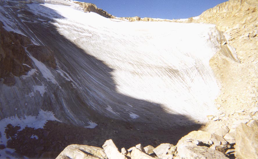
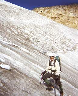
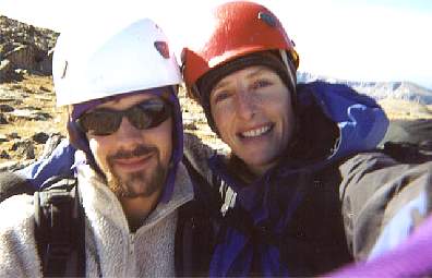
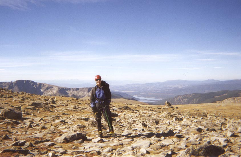
On Saturday, Lisa and I set out for a nice long outing in RMNP. We left Bear Lake trailhead at 6:30 am and hiked west up Tyndall Gorge below the immense north face of Hallett Peak. Our plan was to climb Tyndall Glacier. We didnt bring any ice screws so there was no way to protect the climb. This being the case, we decided to simu-soloed up the glacier to the Continental Divide between Flattop Mountain and Hallett Peak.
Back to Top
 |
 |
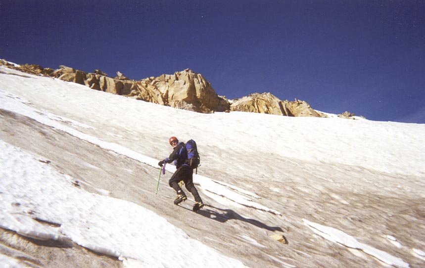 |
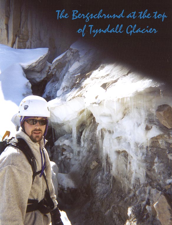
After a short break to eat a cookie and don our crampons and ice axes, we started up. The climb was straight forward with a mix of front pointing and flat-footing. Easy stuff but exposed and there was no chance of stopping if you started sliding. We each carried one mountain axe and one ice tool. I would rate the glacier AI2. Ten meters below the top of the glacier we encountered a small bergschrund which we passed on a snow bridge.
 |
 |
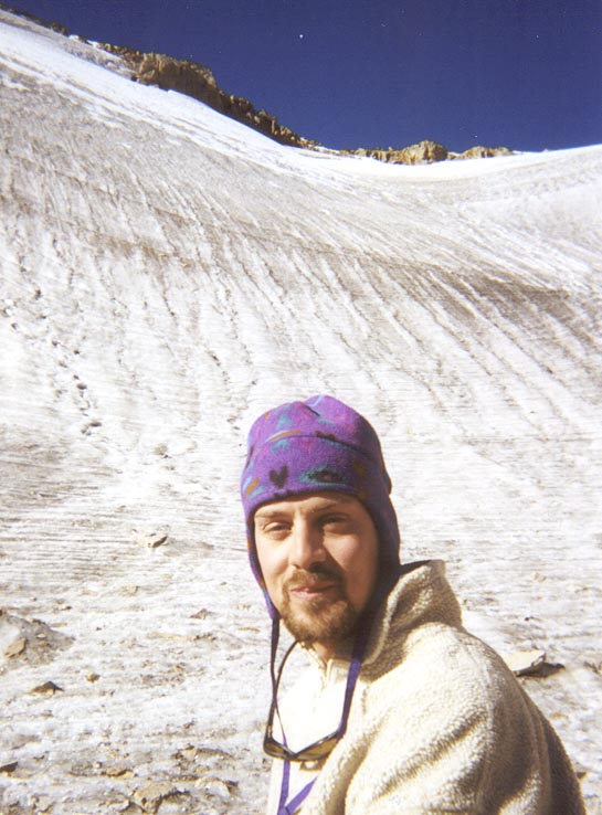
Just before we gained the Continental Divide, were treated to the site of a white Weasel creeping stealthily between the rocks hunting a group of Ptarmigans who were in between their summer and winter plumage. It was a rare sight and we felt rewarded for our efforts.
 |
 |
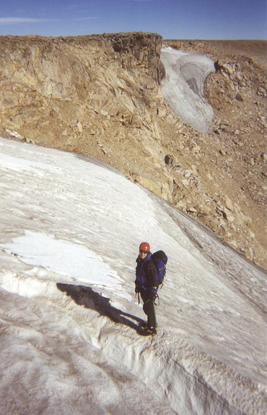
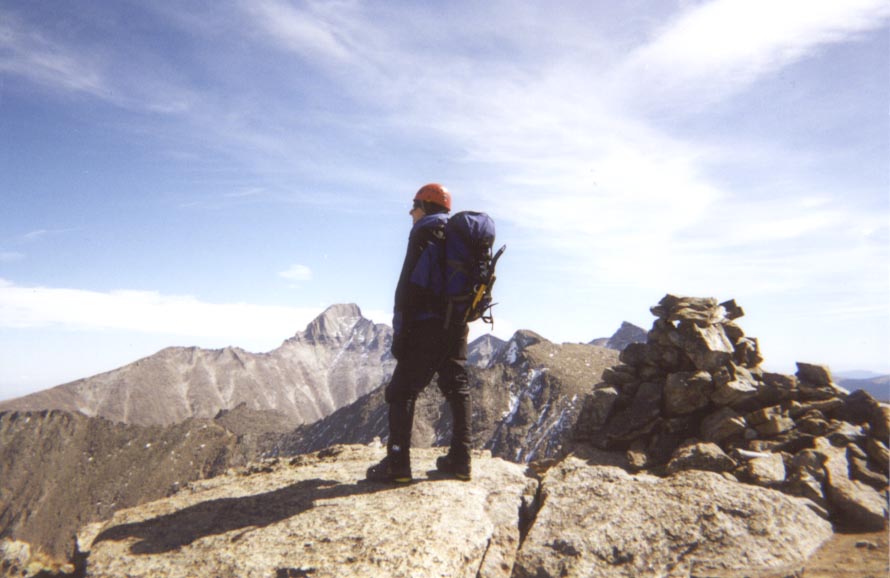
Once on top of the glacier, we headed southeast along the Continental Divide, contouring around Hallett Peak. We stopped to have a look down Chaos Canyon and Chaotic Glacier and then passed west of Otis Peak, putting us at the top of Andrews Glacier. Here we stopped to eat a sandwich and enjoy the views. After lunch, it was onward and upward to the summit of Taylor Peak (13,153). This stretch of hiking seemed to go on forever despite the easy nature of the tundra walking. We rested on Taylor to enjoy the beautiful views of the Sky Pond Cirque which hosts some classic climbing objectives such as the Petit Grepon and the Sharks Tooth among others.
 |
 |
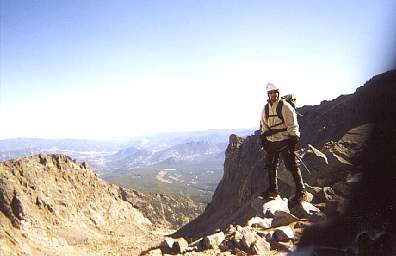
Twenty minutes later we were again hiking along the Divide toward the summit of Powell Peak. (13,208). Unfortunately, we ran out of film so there are no more pictures. From the top of Powell, we planned to follow the knife-edge ridge connecting Powell Peak to Thachtop Mountain. This ridge is close to a mile long and is not well documented in any guidebook. We had heard difficulty reports that varied from 4th class to 5.6 so we had brought one 8.6mm rope and a few cams and nuts with us. The beginning of the ridge was tricky but not hard. I would have called it easy if we had not been wearing our ice-climbing boots (Solomon Super Mountain 9s), which edge well but have the friction of Teflon. Our pace was slow but the climbing was enjoyable. We had beautiful views into the Solitude Lake Cirque on our right and the Sky Pond Cirque on our left. Great stuff!! I was awestruck by the beauty of the couloir that led directly to McHenrys Notch. (I think this may be the McHenry's Notch Couloir but I am not certain.) In any case, it was a stunning line that looked like it would go at AI4. We later came to a place on the ridge where there were rappel slings. We looked around for an easy alternative but saw nothing. The down climb did not look too hard but the combination of many hours on the go, poor footwear, and the fact that the down climb was all slabs, convinced us to rappel 100 feet. After this, it was easy going. We finished by contouring around the west side of Thachtop Mountain and then down the north flank to the top of the S-shaped gully. A short but steep descent of the gully put us at Loch Vale where we caught the trail back to the Glacier Gorge trailhead.
It was a wonderful day in the mountains! We covered 12 miles in as many hours and gained and lost 4000 feet of elevation. We felt proud of our effort and happy to be headed back to town for a cold beer and a hot meal.